| Region: | North West |
| Discipline: | Sea Kayaking |
| Difficulty: | Intermediate |
| Grade: | 2 |
| High Water Low Water: | High Water at Flamborough is around an hour after the River Tees Entrance. |
| Tidal Times: | The south-east going flow starts around 3 hours before high water (HW), and the north-west going flow starts around 3 hours after HW. |
| Tidal Rates: | The tidal streams are generally weak but can reach 2-3 knots at the more exposed points. |
| Coastguard: | Humber Coastguard, Limekiln Lane Bridlington East Yorkshire YO15 2LX Tel 01262 672317 VHF Weather 0340 UT Fax 01262 606915 Operational Area Scottish/English Border to Haile Sand Fort. |
| Length: | 21km |
| Average Time: | 4 Hours |
| Start: | South Landing (TA 231 692), near Flamborough. |
| Finish: | Filey Bay (TA 121 809) |
To paddle round Flamborough Head is to venture round northern England’s most easterly point.
This is where the tough chalky layers of the Yorkshire Wolds finally yield to the power of the North Sea.
This iconic headland juts out over 8km beyond the gentle shores of Bridlington and Filey.
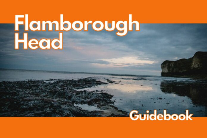
The seas here are rarely calm and over time the regular surges and explosive swell have carved gullies, arches and deep caves into the dazzlingly white cliffs.
As if nature’s architecture were not enough, this is home to thousands of seabirds that nest among the cliffs each spring. In flight, their sheer numbers create aerial displays of Hitchcock proportions.
The cliffs around Flamborough Head are constantly being eroded by the sea, forming caves, arches and gullies.
The area is also home to thousands of seabirds, which can be seen flying in formation or nesting in the cliffs.
South of Flamborough is a small bay called South Landing which provides a place for boats to be unloaded beside the lifeboat station.
There is no parking here, so cars must be driven back up the hill and left in the pay and display car park.
The cliffs at South Cliff rise to almost 40 metres from the sea and lead the way to High Stacks and Flamborough Head.
The beach at the foot of the cliff is built upon a gently sloping wave-cut platform, which provides good foraging for curlews and oyster catchers.
Farther on, High Stacks form a complex network of reefs and arches with a couple of secluded beaches thrown in for good measure.
This is a delightful cricked neck cruise on a calm sunny day but could become a demolition derby for kayaks when swell runs in from the southeast.
The cliffs astride the shingle beaches can be a paddlers’ mystery tour.
Some gullies lead round blind corners to a dead end, some lead into caves and blowholes. Some caves lead into another opening, and others are seemingly endless and dark.
As you emerge from Selwicks Bay you will engage the north-facing shores of Flamborough.
The cliffs are higher and gnarlier, supporting squadrons of razorbills and guillemots.
As well as watching the birds, keep an eye out for anglers. They often cast from the cliff tops well out to sea and their lines can be difficult to spot.
The coastline at North Landing and Thornwick Bay is a great place to take a break. The deep bays are well protected from the weather and the swell by high cliffs and reefs, respectively.
Looking west, the Bempton Cliffs are home to hundreds of thousands of nesting seabirds.
The rock arch of Scale Nab has the only gannetry on the British mainland coast.
From here, the towering cliffs begin to melt away into grassy slopes that descend to Filey Bay.
If you choose to finish at Filey (TA 121 809), then you will find it hard to resist the delicious cream-topped hot chocolate from the promenade ‘Tea Bar’.
Flamborough Head Accommodation
Local B&Bs or hotel & camping available at:
- Seafield Guest House
- 5 Leys
- The Forge Guest House
- Orchard Farm Holiday Village
- Crows Nest Caravan Park
- The Ship Inn Cottage
Flamborough Head Food & Drink
- Tea Bar Filey Promenade
- The Station Inn
- The Ship Inn
Canoe & Kayak Shops
- Robin Hood Watersports
- Yorkshire Canoes
Useful Links
Disclaimer
Kayaking and canoeing are assumed risk sports and you should take every effort to become aware of any dangers involved.
These guides are not intended as instruction manuals, they are just (as the name suggests) guides.
They can give you access and egress information and give you a flavour of the water you’ll encounter, but water is an ever-changing environment.
Rivers change with varying water levels, trees get stuck, and banks can collapse.
Never assume a river is safe just because you read it in a guide.
You must use your own judgement and experiences to make the decision whether to paddle, or not.
And as rivers change so too at sea can the weather conditions and tides change.
All information has been checked to the best of our ability, is given in good faith, and we hope will be helpful, but all information should be checked locally and you and you alone are responsible for your decisions to undertake any of the paddling trips contained within it.
The authors and publisher can accept no responsibility for any inconvenience, injury or loss sustained by any persons as a result of information given in this guide.


